

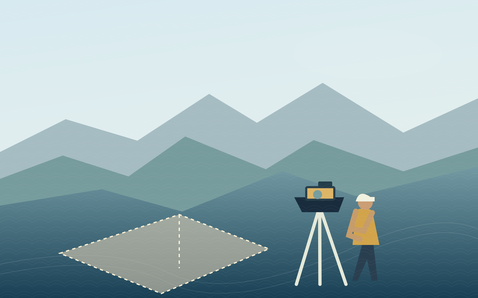


51-Hectare Topographic & LiDAR Survey for Geological Mapping
Integrated topographic and LiDAR surveying for geological mapping.
View Project
Reliable property, engineering, and geospatial surveying solutions built around the needs of your project — from first site assessment to final deliverables.
Focused on the sectors that shape tomorrow
A.C. Cabrera Surveying Services is a Philippine-based professional surveying firm established in 2021. We deliver property surveys, engineering surveys, technical due diligence surveying, and relevant mapping solutions.
Our work combines professional geodetic expertise with practical, site-ready surveying methods to help clients move forward with confidence.
Discover Our Company
From defining property boundaries to mapping complex terrain, explore the survey services that move your project forward.
Boundary, relocation, subdivision, and land verification services.

Topographic, as-built, route, LiDAR, and bathymetric survey services.
Surveys for property limits, legal land descriptions, and subdivision planning.
Terrain and site surveys to support design, construction, and monitoring.
Spatial capture and mapping methods tailored to site requirements.
We tailor survey scopes to the practical conditions, project constraints, and technical requirements of each industry.
Every project starts with an accurate understanding of the site. Our surveying approach considers terrain, access, site conditions, required outputs, and the purpose of the data.
Define requirements, site coverage, and expected deliverables.
Select suitable survey workflows for the project environment.
Prepare survey information that supports engineering and land decisions.

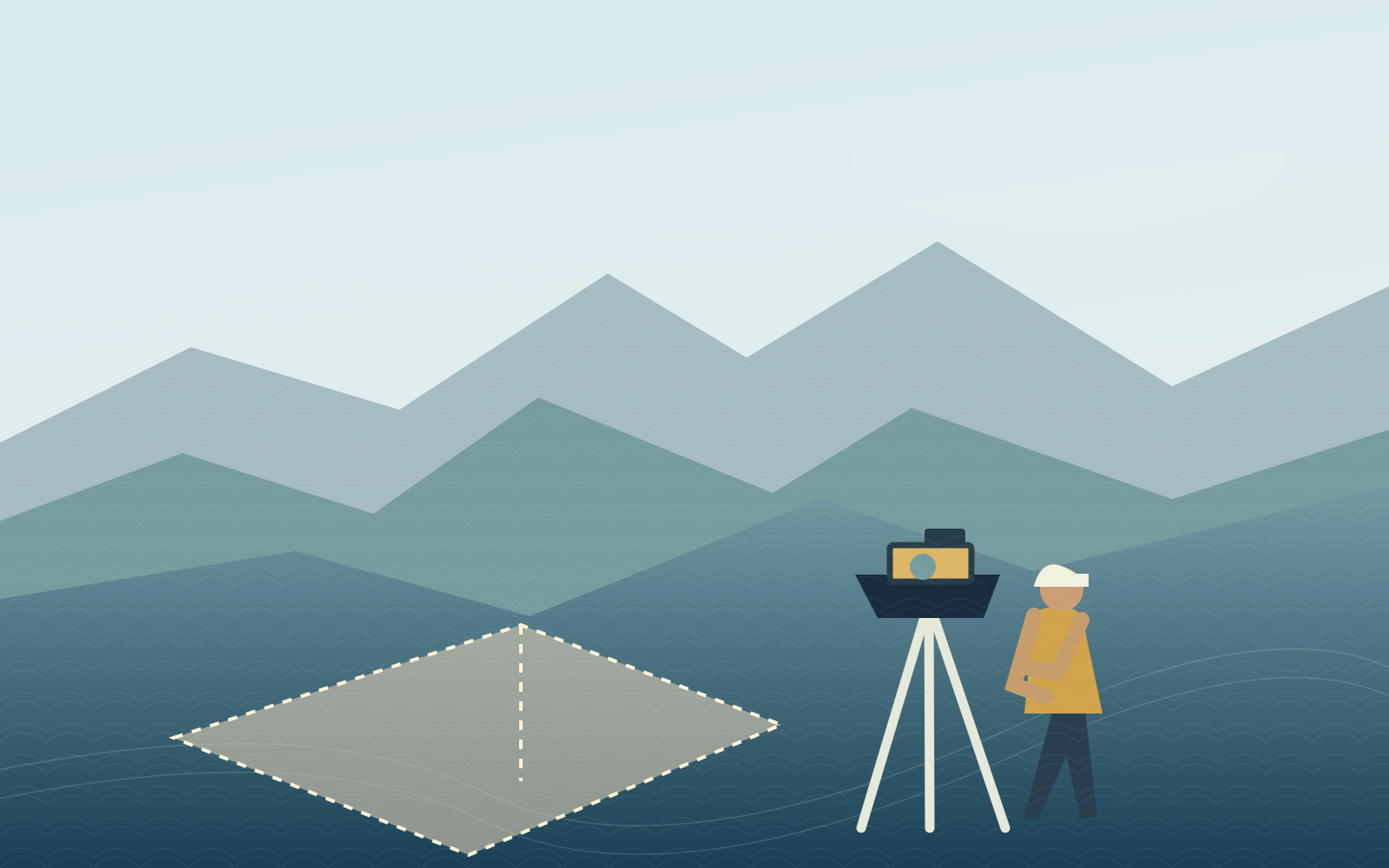
Integrated topographic and LiDAR surveying for geological mapping.
View Project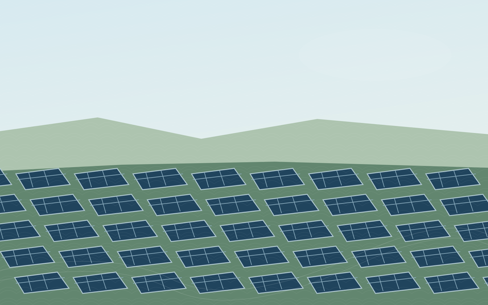
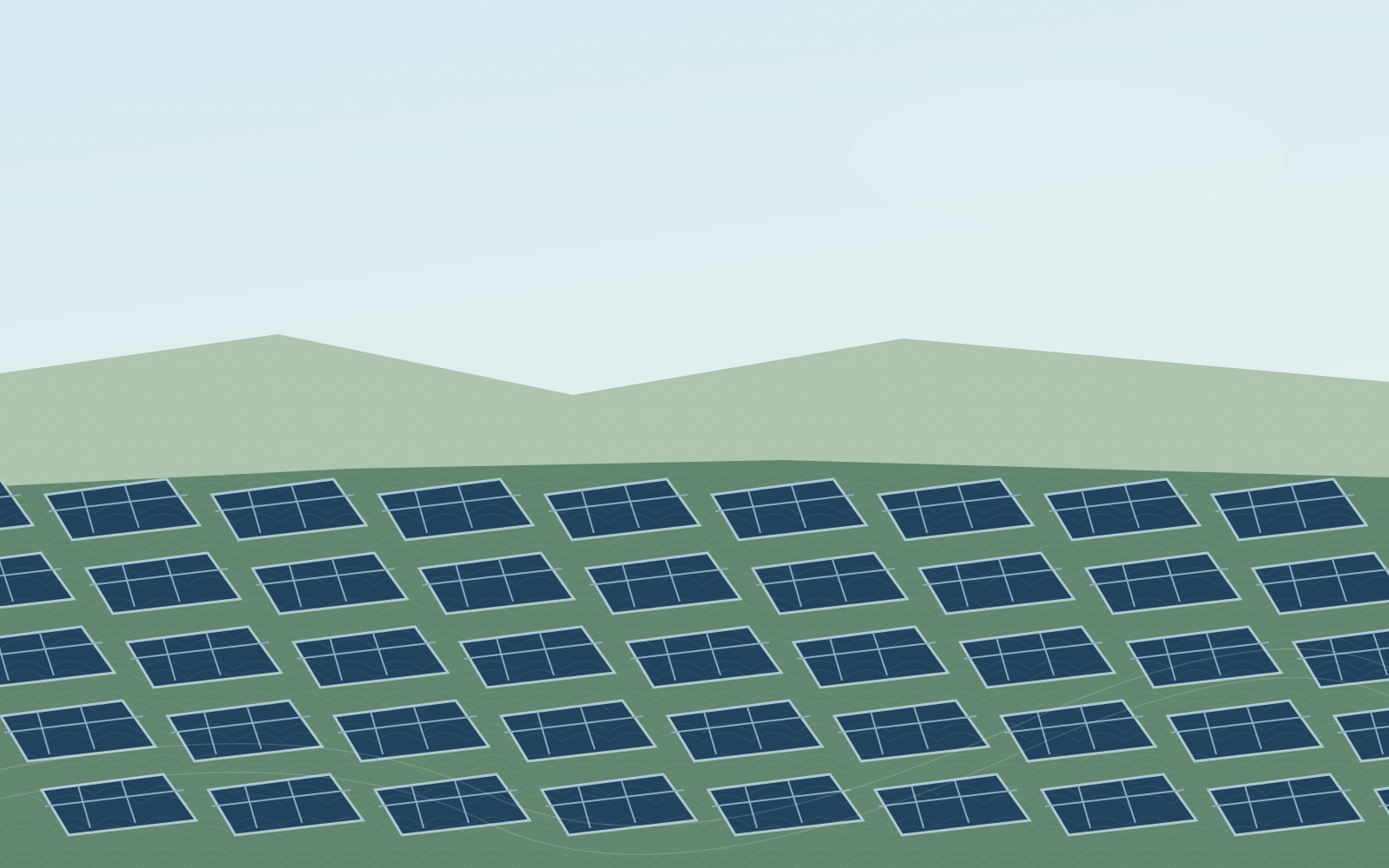
Topographic survey for utility-scale renewable energy development.
View Project
Survey positioning and marking for an offshore geotechnical investigation.
View ProjectEstablished
Core service divisions
Industries highlighted
Nationwide project experience
A straightforward process designed to clarify what you need and guide each project from scope to deliverables.
Tell us about the site, location, intended use, and timing.
Discuss appropriate survey coverage, methodology, and outputs.
Conduct the agreed survey work with project-appropriate tools.
Process, review, and provide the agreed survey information.

Tell us about your site, scope, and requirements. Our team is ready to discuss your survey needs.